Precision Mine Surveying
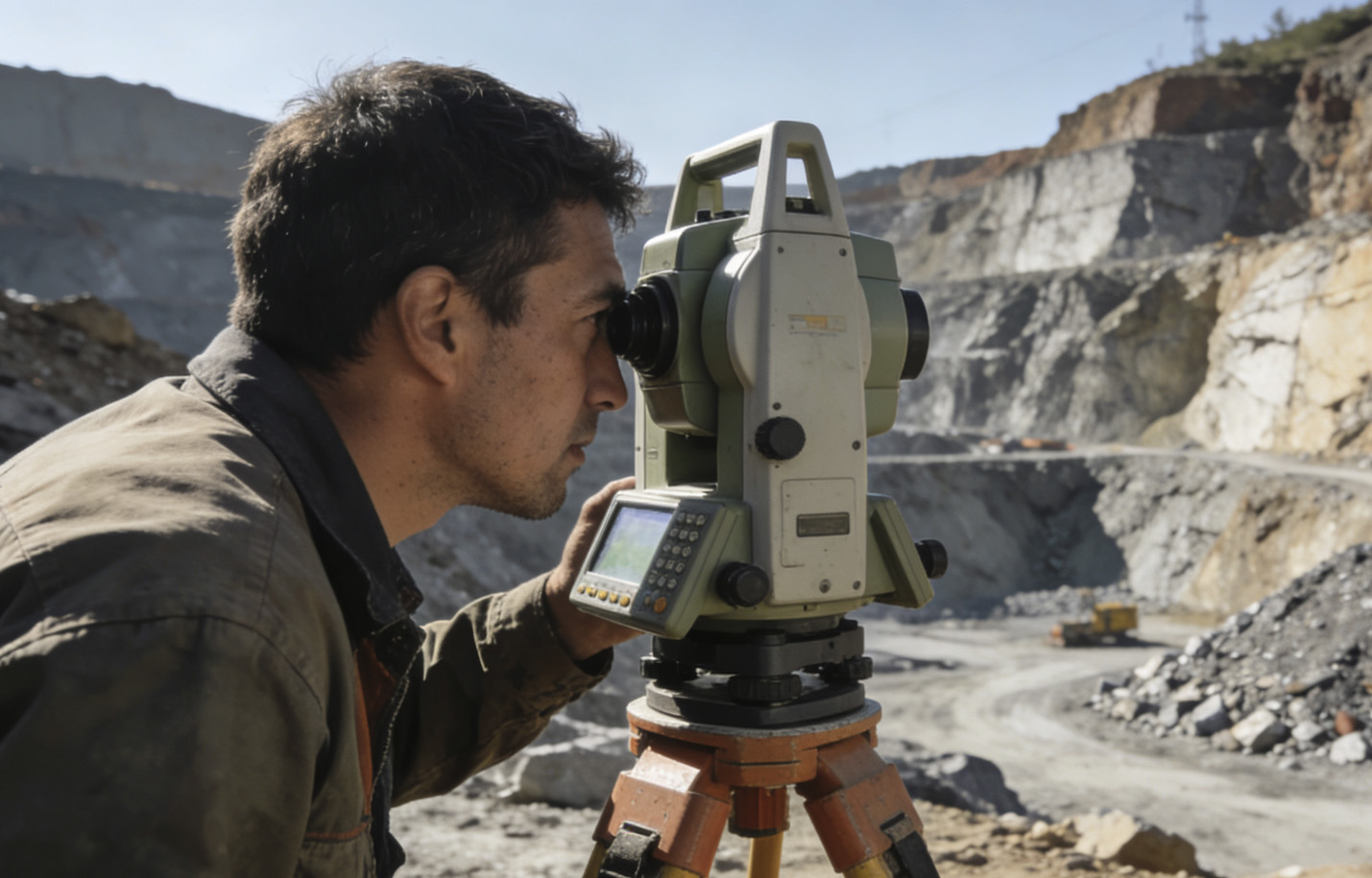
Our mine-survey services provide accurate spatial-data collection and mapping for every aspect of mining operations. Utilising state-of-the-art surveying technologies—including laser scanning, drone mapping and precision-GPS systems—we deliver dependable survey data for exploration, planning and production activities.
Our team of qualified surveyors specialises in underground and surface mine surveying, volume calculations, mine planning and compliance monitoring to ensure accurate resource measurement and mine-design implementation.
3-D Laser Scanning
High-precision as-built mapping
Drone Surveying
Aerial mapping and volumetrics
Underground Survey
Tunnel- and stope-mapping
Volume Calculations
Stockpile- and excavation measurements